


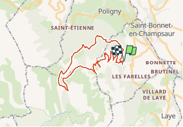

11.8 km | 19.7 km-effort


User


FREE GPS app for hiking
 SityTrail
IGN / Geographical institutes
SityTrail World
The world is yours!
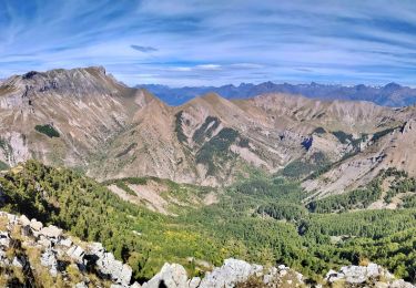
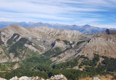
Trail Walking of 18.2 km to be discovered at Provence-Alpes-Côte d'Azur, Hautes-Alpes, La Fare-en-Champsaur. This trail is proposed by PATGUSS.
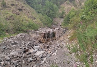
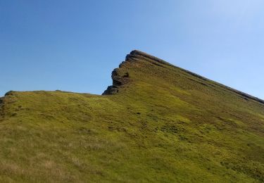
Randonnée difficile aérienne avec une très belle vue sur les crêtes jusqu’au sommet des chamois et descente dans les cailloux c’est assez chaotique assez long mais très belle course


Walking

Walking

Walking
Walking
Walking

Walking
On foot
Walking
Walking